Studying the possible relationships between different phenomena can help us solve many problems on our planet and in space. For example, how climate change impacts our natural resources. Precise measurements from various sources, such as satellite, airborne, and drone imagery acquired over time can help us to understand our environment better
The least-squares cross-wavelet analysis is a novel method of analyzing two series together that allows us to see the coherency and phase differences between various components of interest in the time-frequency domain. Here we mention three critical projects that our team have successfully completed using this robust method
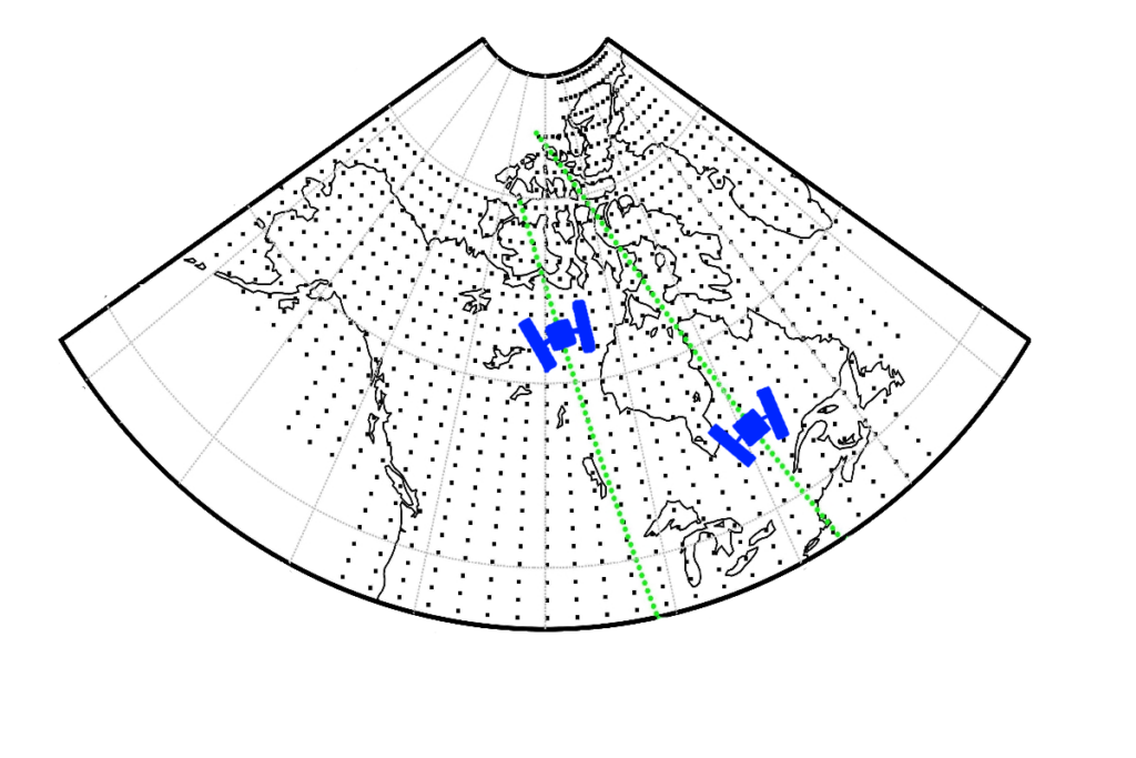
How the electromagnetic energy flux in the Earth’s thermosphere can introduce undesirable disturbances in the electrostatic gravity gradiometer measurements?
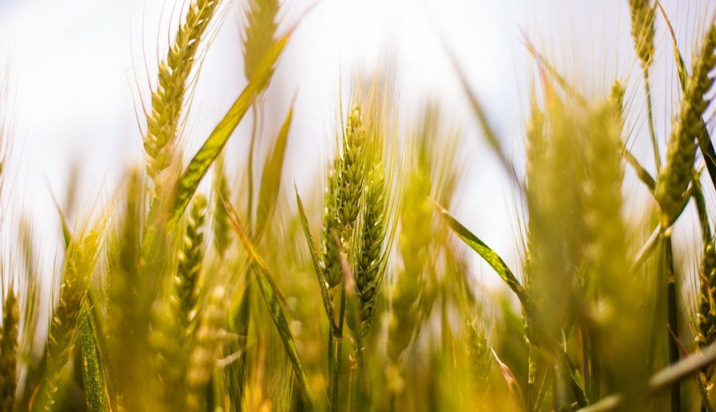
In agronomy, how precipitation and temperature variations influence the plant phenology?
How the temperature variation is affecting the very long baseline interferometry measurements used to track the motion of Earth’s tectonic plates, Earth’s orientation, etc.?
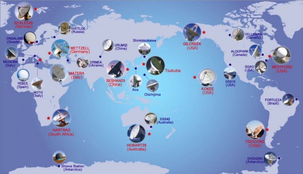
Image Credit: www.sinet.ad.jp