Founded in 2020, Earth & Space Inc. has provided six years of consulting services in geomatics, remote sensing, geodesy, GIS, environmental monitoring, geohazard assessment, and scientific data analytics. We support government, industry, research, and infrastructure projects through advanced geospatial solutions and technical expertise.
Core Service
- InSAR and ground deformation monitoring
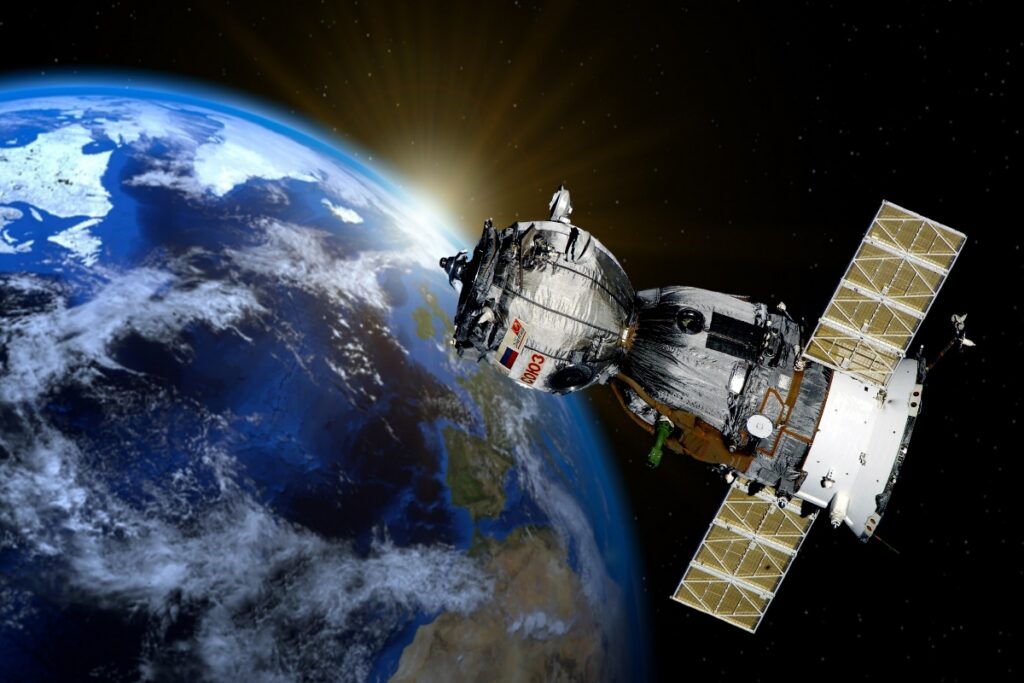
- Remote sensing and satellite image analysis
- GIS and spatial analytics
- UAV data processing and integration
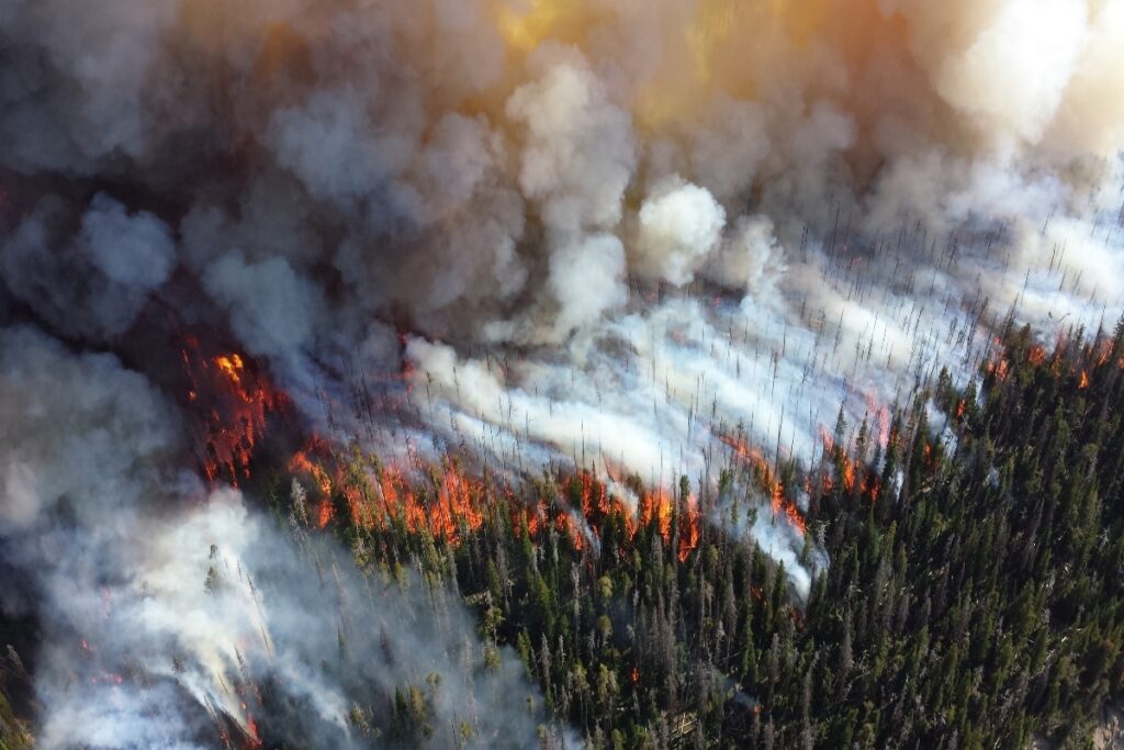
- Environmental monitoring and assessment
- Geohazard and risk analysis
- Time-series analysis and geospatial modeling
- Research proposal and technical report development
Technical Expertise
Python, MATLAB, GIS, remote sensing, geodesy, statistical analysis, multi-source geospatial data integration, and scientific workflow development.
Why Work With Us
- Available for subcontracting and specialized technical collaborations
- Six years of consulting experience since 2020
- Academic and industry expertise
- Advanced satellite-based monitoring and Earth observation capabilities
- Flexible support for short-term and long-term projects

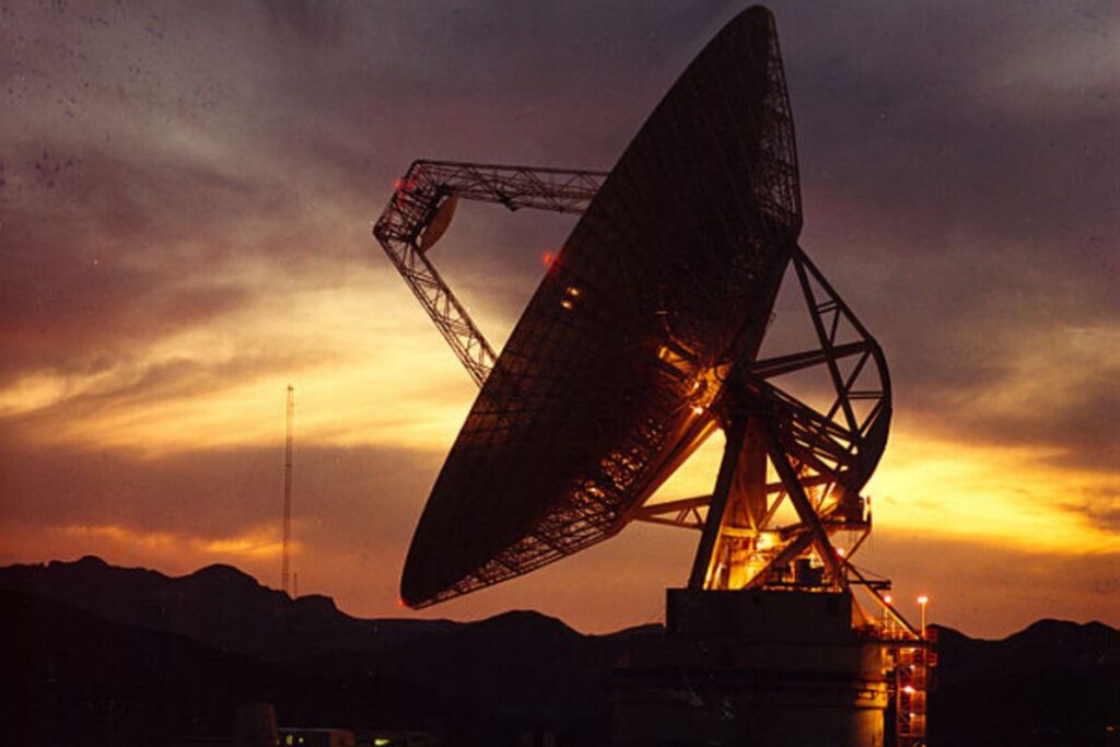
Image Credit: NASA/JPL