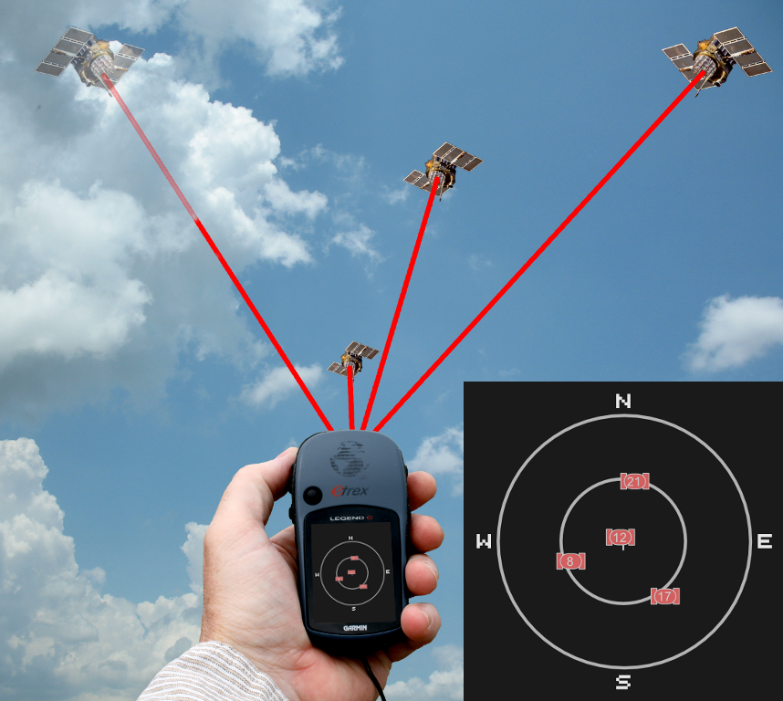
Congratulations to our team members for developing a sophisticated software package for multi-navigation satellite systems!
The software reads the ephemeris and almanac data in real-time for various constellations, such as GPS, GLONASS, and Galileo. Then it computes the satellite orbits, satellite-receiver line-of-sight, and the dilution of precisions for a single GPS receiver within a given period. It also computes the number of available satellites for every location on the Earth at a given time, extremely useful for planning purposes, and many other applications. All these functionalities are embedded in a graphical user interface that is capable of showing various animations in real-time

Image Credit: Wikipedia

